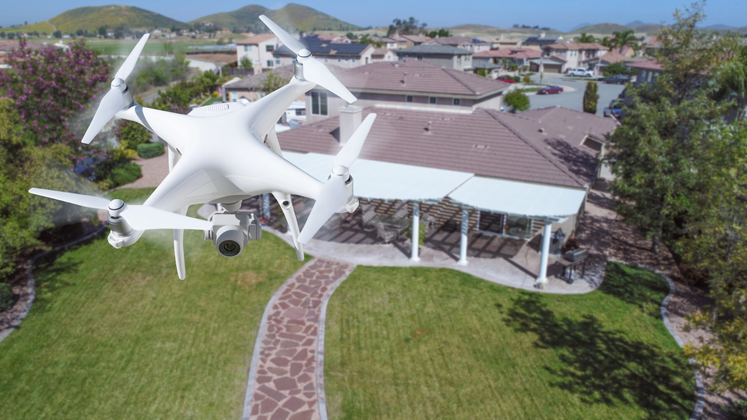
Drone photography and drone videography address these gaps. A single aerial view can show the entire site, making it easier to understand what is happening and where progress is being made. This perspective brings clarity to a process that is often difficult to visualize from the ground.
How Drone Documentation Supports Different Roles in Construction
1. Homeowners gain visibility into the transformation
Renovations and new builds can feel overwhelming. Drone documentation helps homeowners see the bigger picture and understand how the work is progressing from start to finish.
2. Developers and general contractors alike get transparent updates
Investors focus on performance, timelines, and value. Aerial progress updates show the true state of the project and help maintain confidence throughout the construction cycle.
3. Commercial contractors can review work more effectively
Construction involves many teams and phases. Drone documentation helps contractors monitor progress, track milestones, and maintain organized records across large sites.
4. Designers and architects reconnect with the site
Aerial views help design professionals confirm that the work matches the intended plans and spatial layout.
5. Anyone tracking before and after, timelapse, or long term documentation gets a complete story
Drone documentation allows clients to see every stage of the project and understand how each step contributes to the final result.
For additional insight into how aerial photography enhances project storytelling, you can visit: Benefits of Drone Photography for Real Estate Marketing
How Drone Documentation Helps Us Understand Projects More Clearly
Construction in Los Angeles County and Orange County moves quickly. Dense neighborhoods, project constraints, and changing coastal conditions make it challenging to stay aware of progress unless you are onsite every day. Many people search for terms like drone service near me or real estate drone photography because they want clarity and accurate information, not marketing language.
Drone documentation helps people see:
- How a project is forming from above
- The condition of roofs and structures that are difficult to reach
- Before and after visuals that reveal real progress
- Timelapse sequences that show how work has evolved
- Full site overviews instead of limited angle snapshots
- Combined aerial and ground walkthroughs that complete the story
- Records that support insurance, planning, and long term comparison
When aerial imagery is paired with professional interior and exterior videography and detailed still photography, the entire project becomes easier to understand.
- It reduces confusion.
- It lowers stress.
- It keeps everyone aligned.
Drone documentation is more than a record. It is an honest representation of the work being done.
A Story From Above: What Aerial Documentation Reveals
One of the most meaningful moments in this type of work happens when a client views their project from above for the first time. They pause and immediately recognize that they are seeing something that is usually hidden.
- A homeowner sees the full outline of a renovation.
- A property manager sees progress that matches the schedule.
- An investor sees clear evidence of movement on the site.
- A contractor sees the scale of the work completed by their team.
- An insurance adjuster sees roof and structural details that cannot be captured from the ground.
These are not dramatic moments. They are moments of understanding. Drone documentation provides the context people need to interpret what is happening on their project without guessing or relying on incomplete visuals.
Why Clarity Reduces Stress in Construction
Uncertainty creates tension.
Clarity builds trust.
Drone documentation provides clarity by:
- Showing objective progress
- Reducing miscommunication
- Helping clients stay involved even from a distance
- Supporting faster and more accurate decisions
- Creating a visual timeline of the entire project
When people understand what they are looking at, they feel more grounded and better informed. This stability is valuable for any project, especially those that involve long timelines or complex coordination.
Conclusion
Drone photography and videography have become essential tools for anyone involved in construction throughout Los Angeles County and Orange County. They offer transparency and clarity that traditional updates cannot match. Aerial documentation helps homeowners, contractors, investors, designers, and property managers understand their projects with accuracy and confidence.
Construction is a long journey, and progress is not always easy to see from the ground. Drone documentation makes that progress visible, allowing everyone involved to make better decisions and stay aligned from start to finish.